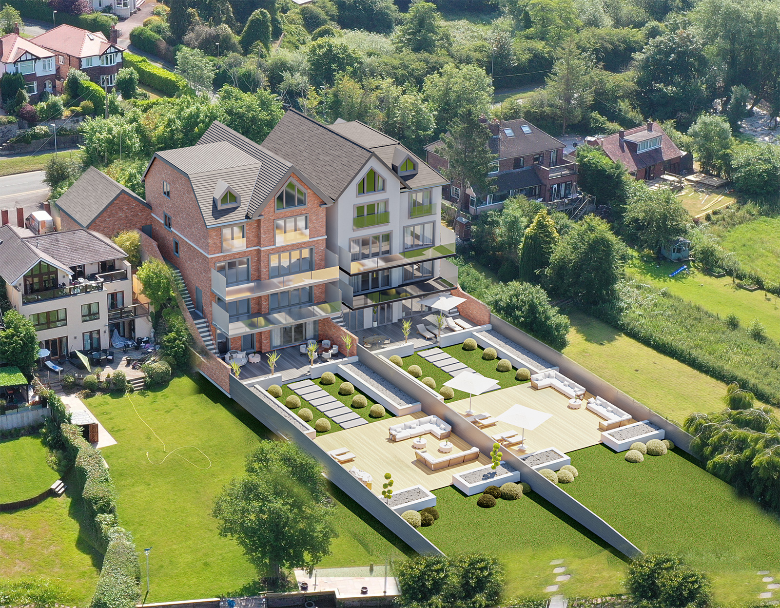
Aerial Site Surveys
Because of their versatility and capabilities across a variety of industries, drones are growing in popularity. Conducting aerial site surveys is one of the most widely used applications for drones.
They are a great way to get to places that would otherwise be impossible to reach, and they can be used to provide precise measurements for land mapping and surveying.
Thanks to technological improvements, drones are now the first choice when it comes to site surveys due to them being much more accessible and affordable than more traditional solutions such as helicopters. Not only are drones a cheaper option but they can also access nearly any type of terrain.
Professional industries that have benefited greatly from the growth in drone technology include surveyors, building companies, and home developers. They can collect precise measurements and data without the restrictions they would've previously had to work within. Drones can produce stunning 3D models and computer-generated images (CGIs) of prospective designs and upgrades for developments in addition to surveying and mapping.
All things considered, drones have completely changed the way aerial site assessments are carried out, providing increased effectiveness, precision, and almost as importantly cost-savings. It comes as no surprise that an increasing number of sectors are using drone technology to enhance their processes and produce better results.

