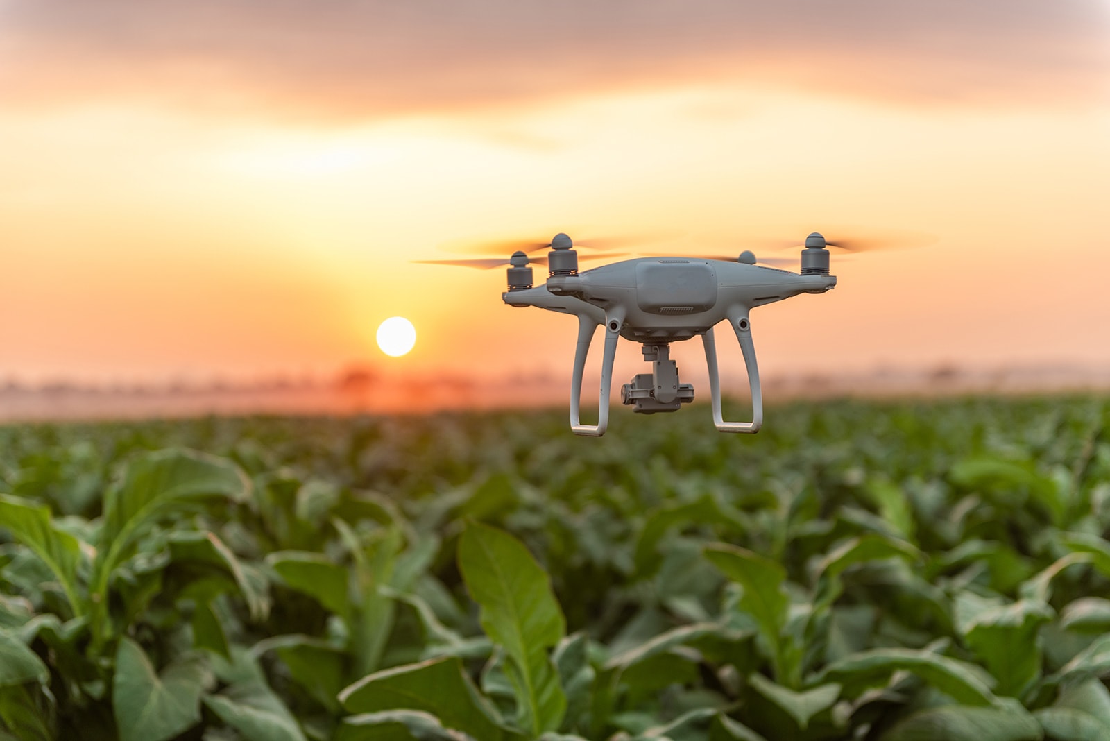
Crop Survey Photography
We are a professional drone company providing "crop survey photography" to supply detailed and precise imagery and videos of agricultural crops.
In the agricultural sector, this service is growing in popularity because it makes it possible for farmers to evaluate the development and health of their crops in a timely and effective manner.
Our DJI Mavic Pro gives us the ability to take precise pictures of crops from a different angle and is one of the key advantages of employing drones for crop survey photography. By flying drones over fields, farmers can obtain high-resolution images and videos of their crops from above, providing a detailed view of the crops that would be difficult to achieve from the ground.
Covering large amounts of land fast and effectively is another advantage of employing drones for crop survey photography. Crop surveys using conventional methods, such as driving or walking over fields, can be costly and time-consuming. Farmers can save time and money by employing drones to quickly cover big sections of land.
How it works
We fly fully-automated, pre-programmed, and targeted drones to collect close-up images for analysis and field overviews.
Once collated, you will have access to field reports that are available from anywhere, providing you with real-time, data-driven decision-making information on crop health, issues, and progress within a day.
Increase your yield, make the most of your resources, and profit from precision farming. Get in touch today, if you want to find out more about how we can completely change the way you handle crop management. We offer a service that combines state-of-the-art technology, expert drone pilots, and a dedication to quality.

