Flood Damage Photography

Drones have proven to be an invaluable tool when it comes to identifying and assessing the extent of flood damage in an area or terrain. This is especially true for insurers who need to quickly and accurately assess the damage for their policyholders.

Traditionally, assessing flood damage can be a time-consuming and expensive process. Surveyors would have to physically visit the site, which can be challenging in areas that are difficult to access due to flooding. With drones, insurers can now obtain an accurate assessment of the damage without putting anyone at risk.

Our drone technology offers a highly effective solution to this problem. Our drones can quickly and accurately map the extent of the flood damage, providing insurers with a clear understanding of the situation. The high-quality imagery and video footage we capture can be used to process and complete claims as quickly as possible, ensuring that policyholders receive the help they need.

Not only are our drones an efficient and cost-effective solution, they are also highly flexible. We can deploy our drones quickly to assess the damage, providing insurers with the information they need to make informed decisions.

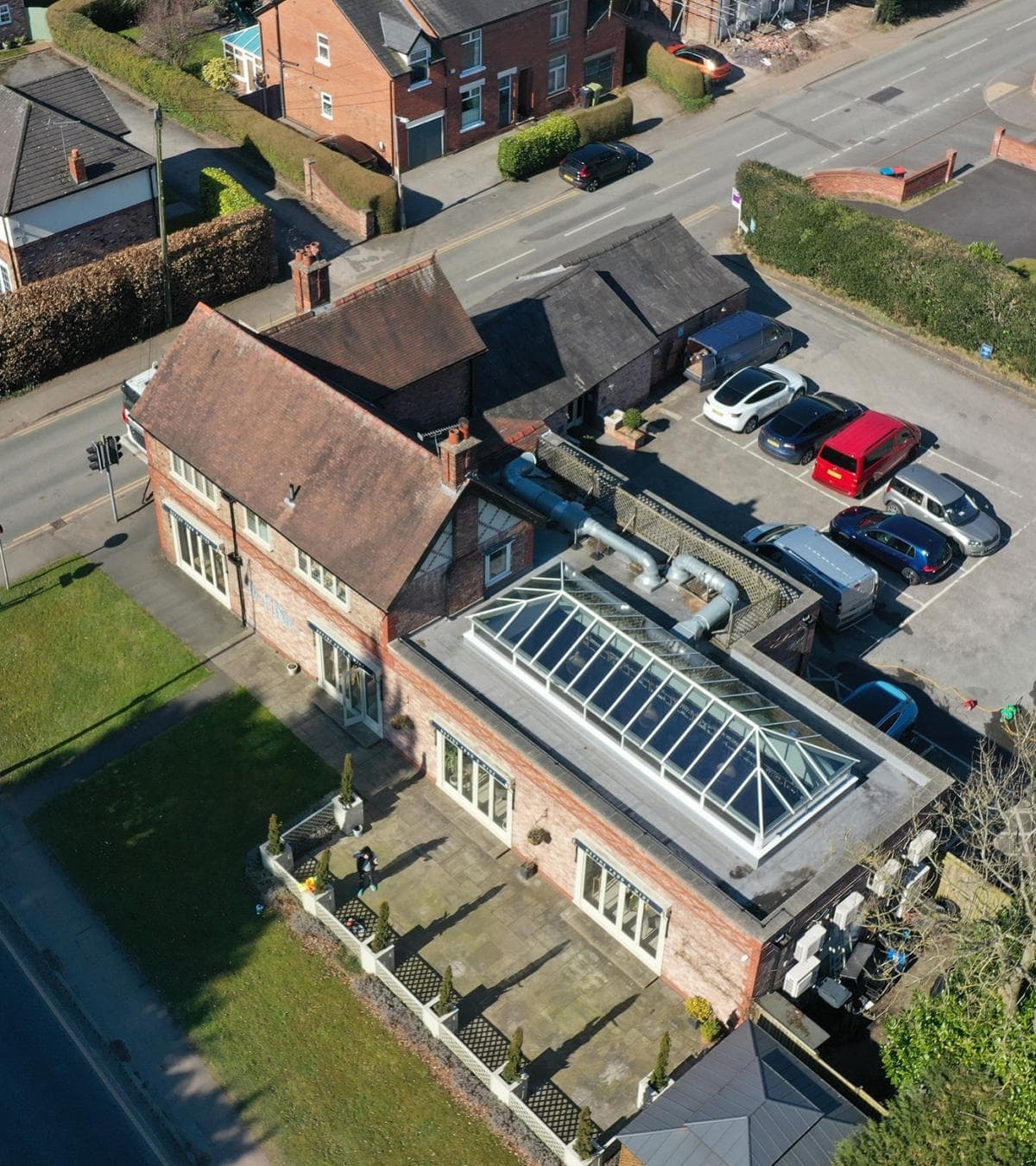
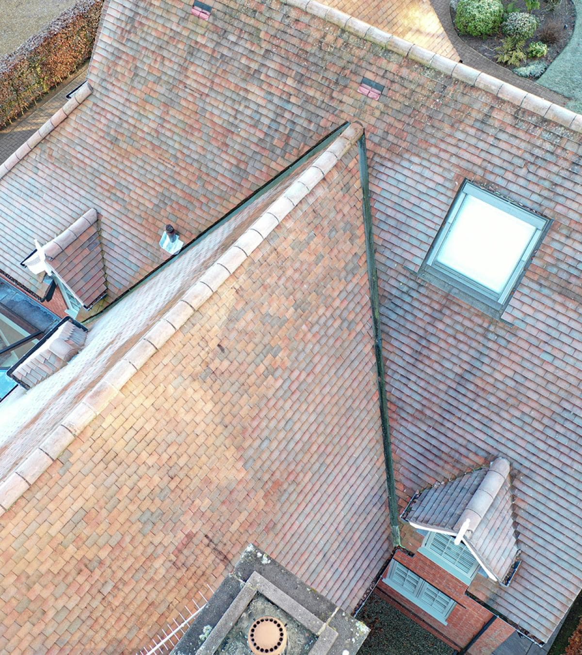
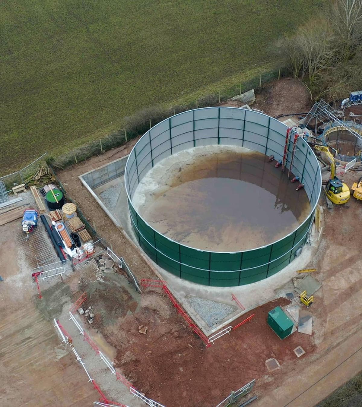
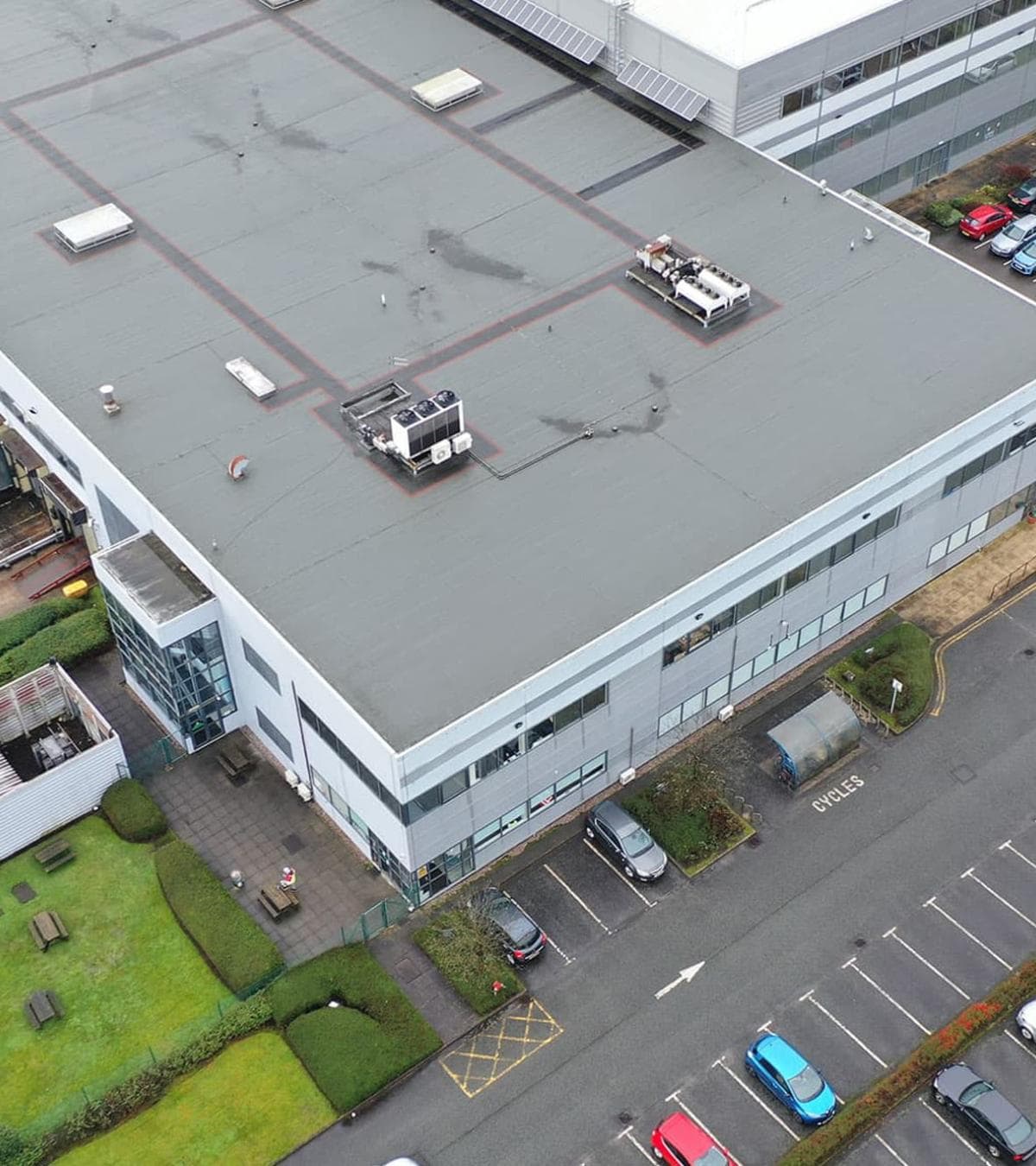
In addition to flood damage assessments, our drone technology can also be used for a variety of other purposes. We offer a range of services, including aerial photography and videography, roof inspections, and site surveys.

At Portal Drones, we are committed to using the latest technology to provide our clients with the highest quality service. If you would like to learn more about how we can assist with your flood damage assessment or other needs, please do not hesitate to get in touch.

Flood Damage Photography