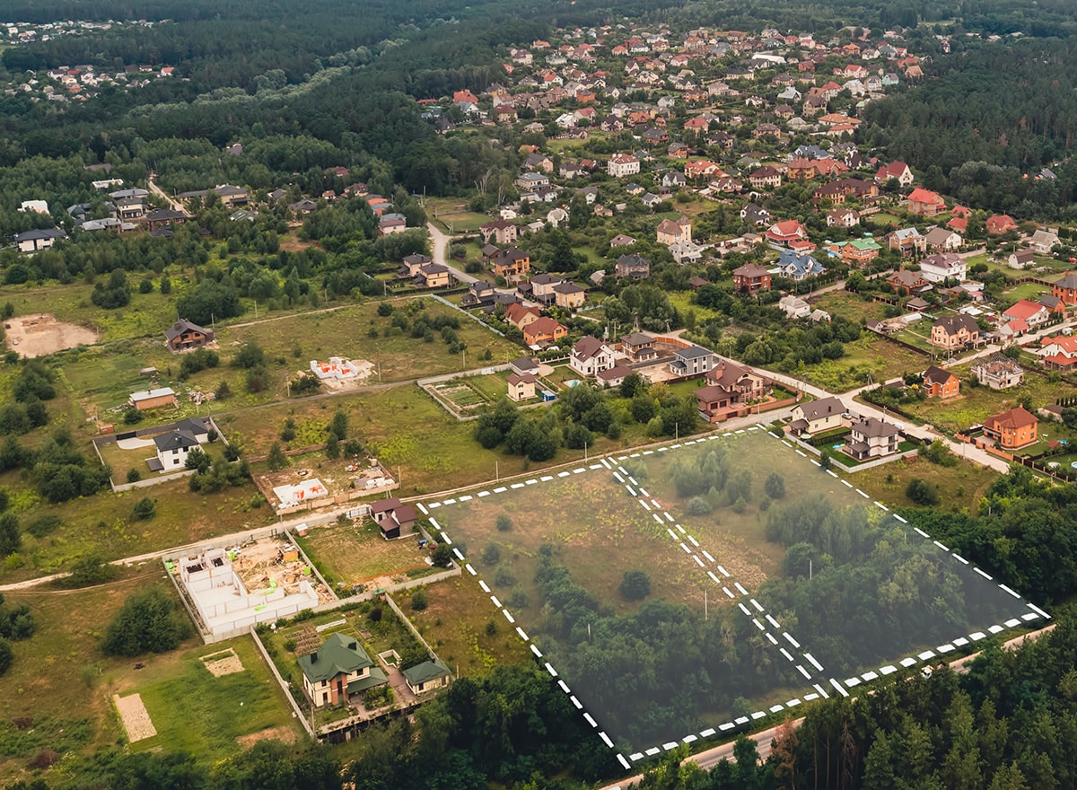
Mapping
Mapping using a drone is a professional service often used by construction sites and property developers and has become increasingly popular in recent years.
Our experts can produce accurate and detailed maps of almost any area by utilising drones fitted with GPS and high-resolution cameras.
Drone mapping is often used for the following purposes:
- Construction site mapping
- Agricultural mapping
- Mining and quarry mapping
- Urban planning and land-use management
- Environmental monitoring
Drone mapping, provides a degree of accuracy and detail that conventional surveying techniques just cannot equal. Mapping experts are able to produce maps with exact measurements, contours, and elevations by utilising cutting-edge GPS technology. Applications ranging from precision agriculture and environmental monitoring to land-use management and urban planning can greatly benefit from this level of information.
It is also a cost-effective and safe alternative to conventional surveying techniques. Mapping experts can overcome the hazards involved in working in hazardous or difficult-to-reach locations, such as construction sites or areas that have been affected by natural disasters, by using a drone to hover over the region.

